In the days before GPS, Google Maps and Waze, people used maps; and to figure how long it would take to get from A to B on a map, you could make excellent use of a Marsch-Zirkel, or march compasses… like the lovely device described in this new article on my History of Computing exhibition.
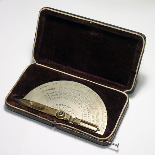
Dating back to the late 19th century, this ingenious little tool helps you figure the distance and the time to cover it – with infantry or cavalry.